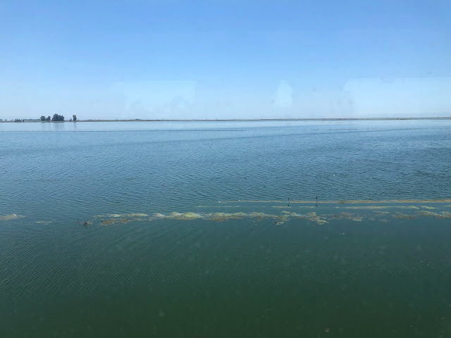
Amtrak's San Joaquins line runs north from Bakersfield, and as my train chugged through Earlimart, my window gave me a grand view of resurgent Lake Tulare. I couldn't believe my eyes. See the southern Central Valley, over July 4th weekend, underwater:
Shorebirds -- curlews and sandpipers and the like -- are sporting in the endless shallows of the new Lake. Which must taste awfully briny, given the accumulations in the soil, of over a century's worth of industrial toxins flooding the Central Valley. The birds look just like tiny versions of the black-rust bobbing oil pumps dipping in the dry sands just south of this spot. (Awesome -- see America by train!) I suppose the railroad causeway or levee supporting the tracks, makes an eastern dike to Lake Tulare. Anyway it was a thrill to see this geographic wonder from a comfortable cafe car.


No comments:
Post a Comment